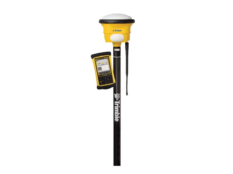
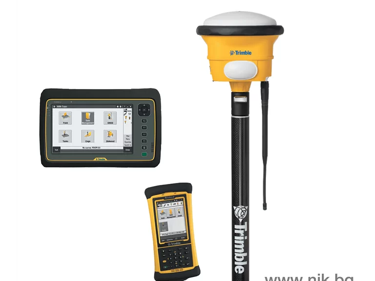
WM-Topo Topography System
WM-Topo Topography System
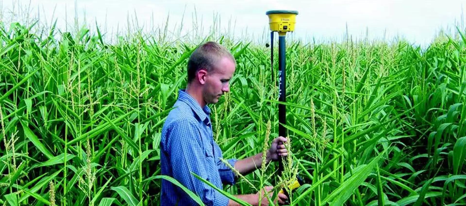
The Trimble WM-Topo topography system is a portable device for collecting topographic data, which can be gathered even from hard-to-reach areas, in adverse weather conditions, or when crops are too mature to allow machine access.
Features:
- Easy data transfer to FarmWorks Mapping software or directly to the integrated Trimble FmX display.
- Point tracing with 2 cm accuracy.
- On-the-go precision verification for land leveling projects or creating necessary slopes.
- Marking locations where a drainage plate needs to be installed.
- Seamless operation in adverse weather conditions.
- Compatible with TMX-2050 or FmX displays.
Advantages
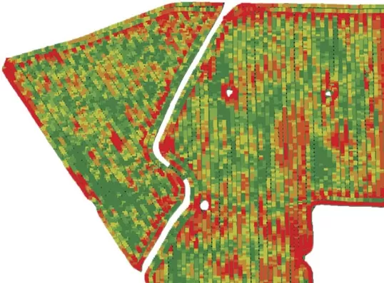
Use the collected information to build surface models
Make better-informed decisions on water management
Reliability and accuracy in fertiliser-rate management
Technical data
Accuracy
vertical – 5 cm; horizontal – 2 cm
Built-in radio receiver
frequency 900/450 MHz
Shock-resistant construction
CenterPoint VRS correction service
GNSS receiver, antenna, battery and radio
3 rechargeable batteries with an operating time of 1 – 4.5 hours
USB port
Contact us
Precision Processing Systems
Follow us