The invisible is already a fact!
On November 27 at 17:30 Niki Kanchev, Dimitar Machuganov, Venelin Delgianski and Ivo Kumanov revealed the “invisible” after a discussion on the topic “Digital Farming 2.0” to the members of the National Association of Grain Producers.
GeoScan is the first program in Eastern Europe for satellite imaging of agricultural areas!
You can see how the idea and technology came about in the video:
More than 42 years have passed since then, and the technologies are much more advanced.
GeoScan program was created and developed by NIK and Techno Farm with the participation of Svilen Kostov from the Center for Innovative Agriculture.
Look what it is!
Through the crop monitoring program GeoScan can:
- Monitor the development of your crops during the season
- You find the weak and strong areas in the fields
- Keep track of differences in different farming blocks with the same crop
- Detect nutrient-deficient areas
- Detect diseases and insects in fields or game raids
The program includes several satellite images of agricultural areas in Bulgaria in the period from March to August so that the development of almost all agricultural crops grown in the country can be traced.
Satellite images from different periods are processed by software developed by Techno Farm and, through a complex analytical algorithm, is calculated “vegetation index”of the crops in each field.
Field maps can be accessed from the web portalwww.geoscan.bg, as well as from applications for the Android and iOS operating systems.
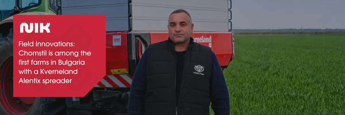
Other articles
.webp)