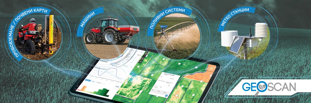
Efficient field data management in one digital platform
Poleta
Through this direction, farmers receive information about the state of their crops, the health and development of plants. On the basis of maps with the results of the previously made soil analyses and the map of crop development based on the vegetation index, the information from the two sources can be compared and the most accurate decisions for future actions can be made.
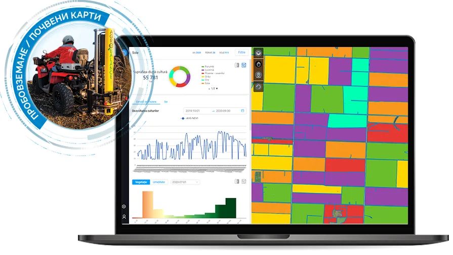
Other main functionalities in this direction are the preparation of a map for alternating nitrogen fertilization based on satellite images and the vegetation index of crops, as well as the tracking of the route when carrying out soil sampling.
Machines
In the field of machinery, users get an overview of the operations carried out with the machines of the agricultural fleet, but also the inventory with which it was worked. Processed through Geoscan, the data carry information on cultivated area, type of processing and transport to and from the agricultural plot.

Information about machines, in addition to graphics, is also presented in the form of tables, which can be obtained directly by e-mail.
Pivots
Real-time monitoring of all pivot systems allows farmers to track irrigation activity on the farm and know at any time where and which facility is active.

In this regard, users also receive notifications and alarms based on predefined events.
Weather stations
Through the integration of data from weather stations, farmers see information about the weather situation in the field.

In addition to instant data and history, we also provide a forecast divided by days and hours. They also have the ability to create reports.
Contact a NIK representative for more information
Other articles
.webp)