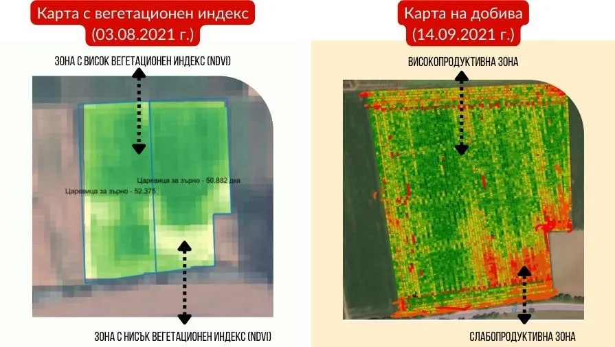
Advantages and relationship between NDVI and mining cards

Satellite images are a tool for remote monitoring of crops, which is becoming increasingly used in modern agriculture, as it carries extremely useful information for the entire farm.
With the help of Vegetation Index (NDVI)each farmer has the opportunity to identify various changes occurring in the field, already in the period of crop development. The data collected can be used to identify areas that differ in their productivity, determine the extent of losses caused by a pathogen or enemy, and locate areas of occurrence of drought or waterlogging.
The vegetation index gives us another advantage — a preliminary look at the harvestthat we will get from a given block. Unlike the yield maps that we extract after harvest, we have access to satellite images as early as the growing season. This advantage of them allows us to react as soon as we notice disturbances that have occurred and prevent possible losses.
To confirm what has been said so far, we have selected an interesting example from our practice, in which the clear dependence between the two cards is visible.
Other articles
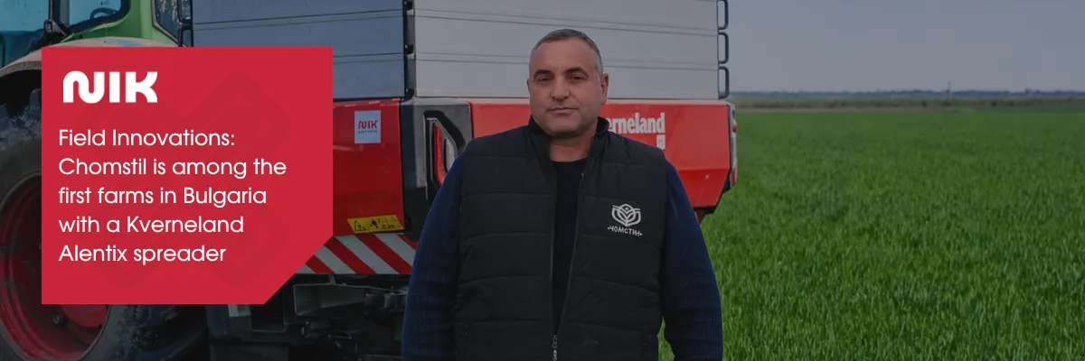
Field Innovations: Chomstil is among the first farms in Bulgaria with a Kverneland Alentix spreader
Kverneland Smart Search presents an innovative way to identify and order original spare parts for machinery and inventory.
.webp)

Follow us