


Features
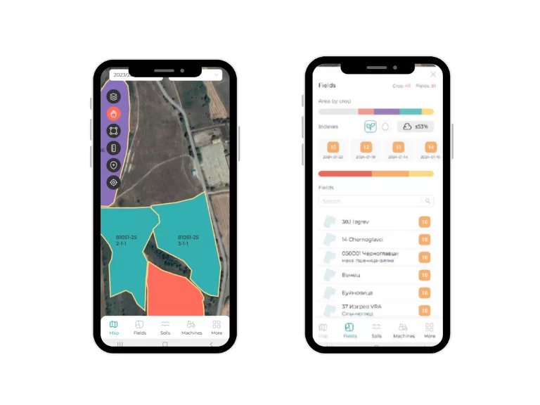
- Visualization of all cadastral parcels from the KVS properties layer
- Option to view the boundaries of loaded parcels for different farming years in Offline mode, without needing an internet connection
- Option to choose a base map – Bing or Google (this functionality requires internet)
- Geolocation capability and boundary delineation using the mobile device's GPS receiver
- Synchronization of delineated areas from the mobile app to the Administrative Map Module with a temporary data layer
- Ability to exchange delineated areas between multiple mobile phones through synchronization with the Administrative Map Module
- Filter by property. View owners, if available in the Administrative Map Module
Advantages

Quick access to farm data
Ability to view information even without an internet connection
Access to more options when mapping field areas
Contact us
This is some text inside of a div block.


Follow us


