


Plots Module
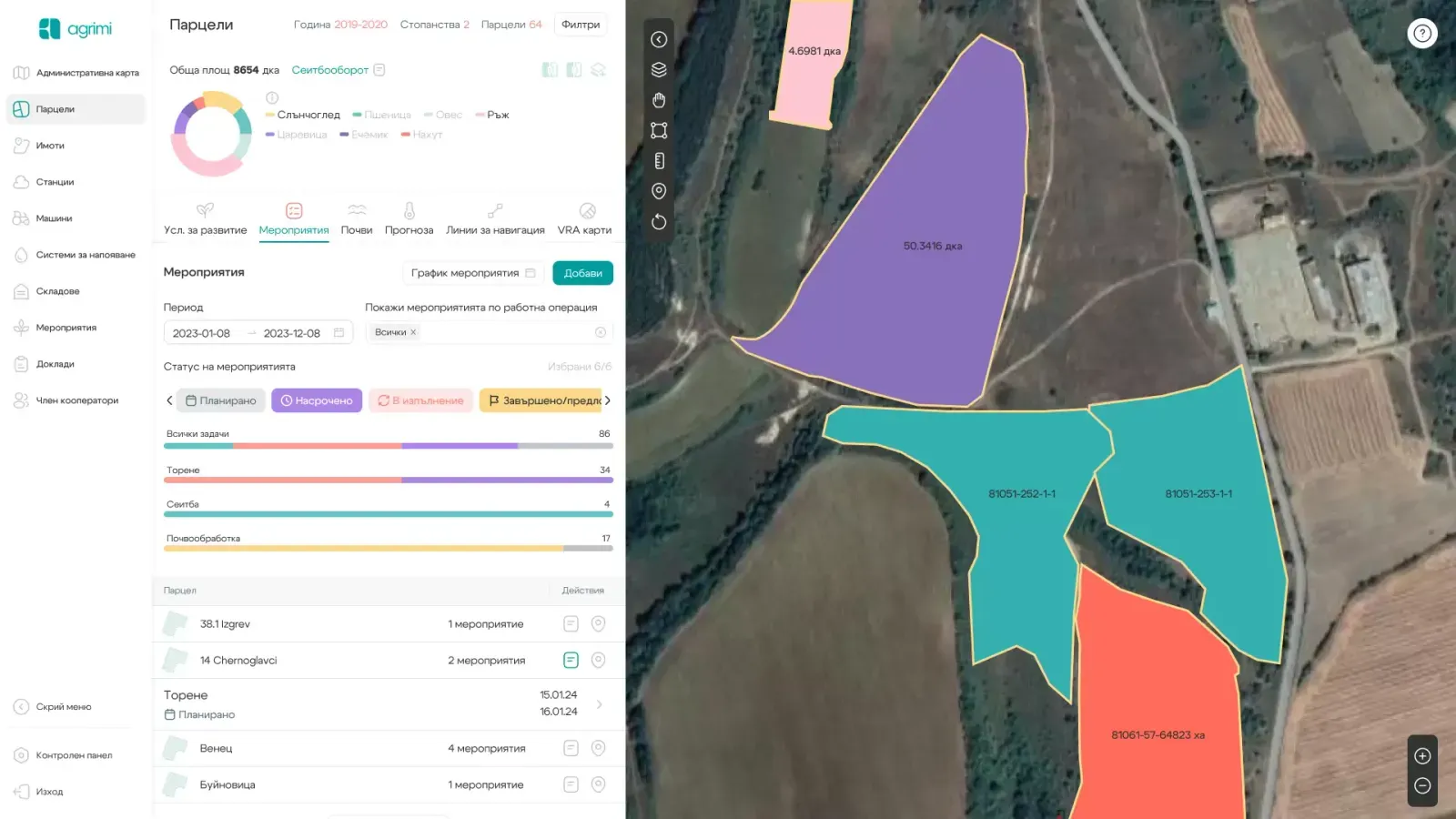
- Periodic satellite imaging and visualization of images, including vegetation index (NDVI) and water content index (NDWI)
- Digital agrochemical maps showing nutrient distribution based on soil laboratory analyses.
- Data from soil samplings (including machinery routes on the farm) and access to the archive of all completed samplings.
- Visualization and management of crop rotation on the farm
- Planning and reporting of agrotechnical activities, application of input rates, products, and calculation of production costs – by crop, farm, and plot.
- Visualization of fertilization recommendations and variable rate application (VRA) maps
- Creation of AB lines and navigation lines for plot boundaries.
- Weather information for each field – expected precipitation, temperatures, and conditions for operations.
Advantages

Accurate planning of agronomic operations
An accurate database from soil sampling
Precise tracking of crop development throughout the year
Ability to plan precision treatments
Access the information via the mobile app
Contact us
This is some text inside of a div block.


Follow us


