Administrative Map+ Module


Features
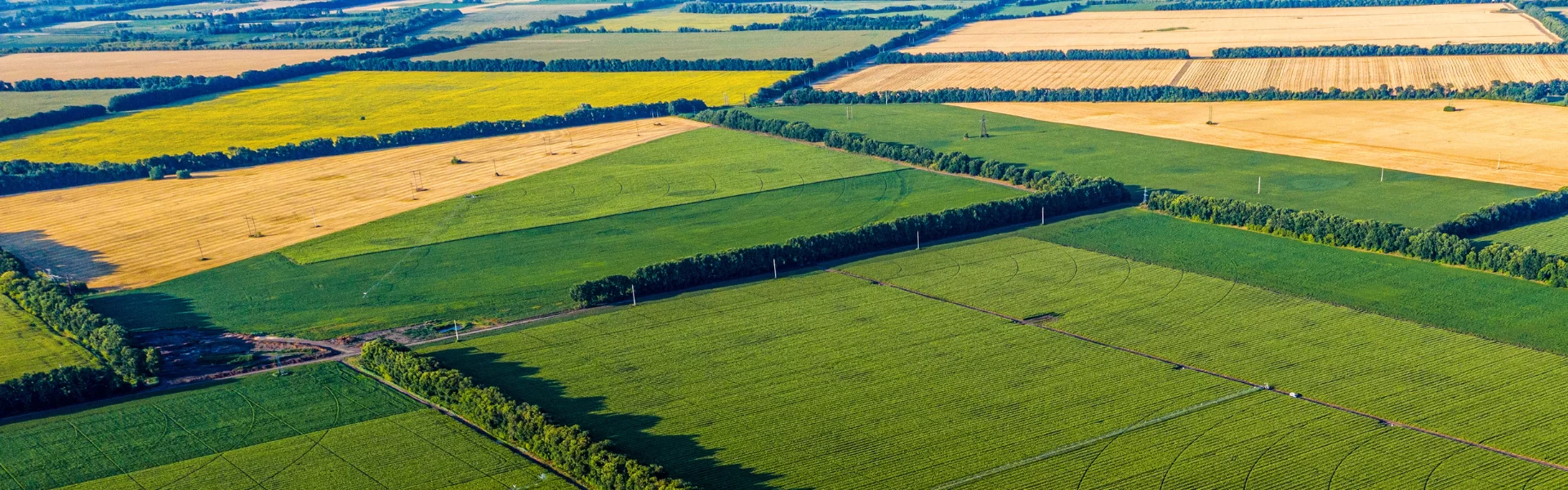
- Visualization of the current Cadastral Map for the entire country.
- Ability to search by property number across all land areas within the cadastral map.
- Layer with calculated slopes according to the SEU methodology.
- Ability to calculate the average slope for all properties/blocks from the Administrative Map
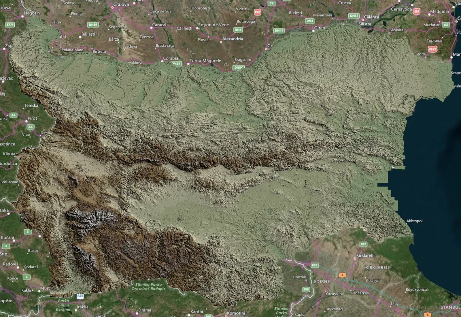
- Layer with terrain visualization by elevation with very high accuracy.
- Orthophoto Map
Advantages

Easily and precisely map out your cultivated fields
Minimise the risk of errors when submitting properties in ISAK
Get a full view of your cultivated land at a glance
You reduce the time spent on manual work
Contact us
This is some text inside of a div block.


Follow us


