Administrative Map Module


Features:
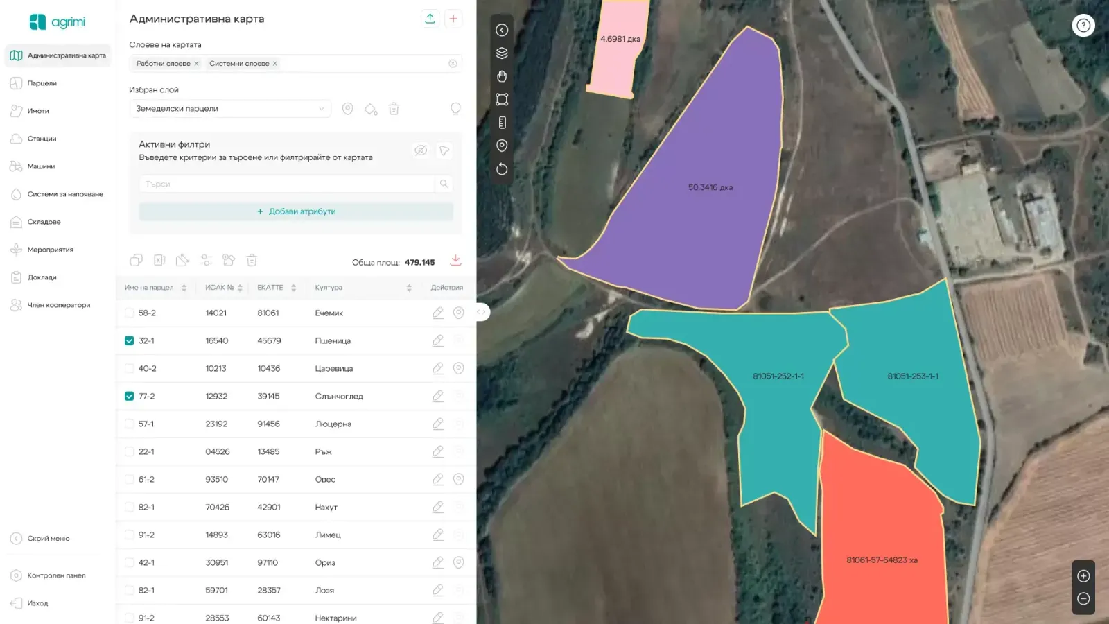
- Choice of map base from several types of satellite images, on which cadastral boundaries and other layers used when applying for subsidies can be visualized.
- Visualization of the following layers for the entire country:
- Preliminary eligible layer for all of Bulgaria
- Final eligible layer for all of Bulgaria
- Layer with permanent grasslands
- Layer with less-favored areas for the entire territory of Bulgaria
- Layer with NATURA 2000 zones with effective orders
- Specialized Agroecology layers related to HNV (High Nature Value) lands
- Rich set of tools for outlining and editing parcel boundaries
- Extensive export options for various navigation systems
Advantages

Independently load up-to-date cadastral (KVS) data along with owner and user data provided by the local land office
Prepare fields after agreements are in place
Submit successful applications for direct payments
Locate a property in the field using the mobile app and Trimble navigation
Create a thematic map by property owners and users
Historical records from previous years
Information on the cultivable part of all properties
Contact us
This is some text inside of a div block.


Follow us


